空间3D 扫描

OBTAIN PRECISE DIMENSIONS OF AN INDOOR OR OUTDOOR SPACE

3D Laser Scanning is a service for obtaining precise dimensions of an indoor or outdoor space with a high-tech 3D laser scanner. The captured point cloud data is later used to construct a digital 3D model of the project site. The 3D Scanning service minimizes the risk of mistakes during the engineering phase and/or after the start of assembling. It also saves you a lot of time since it typically takes just a day to do.

When is 3D Scanning Applicable?

  • existing locations without any construction documents and drawings
  • existing locations with outdated construction documents and without as-built drawings
  • outdoor sites (e.g. landscape park with many trees or complex terrain, theme park, water park)

How Does It Work?

The laser scanner uses multiple laser points to scan across an object. A sensor picks up the laser light that is reflected off the object, and using trigonometric triangulation, the system calculates the distance from the object to the scanner.

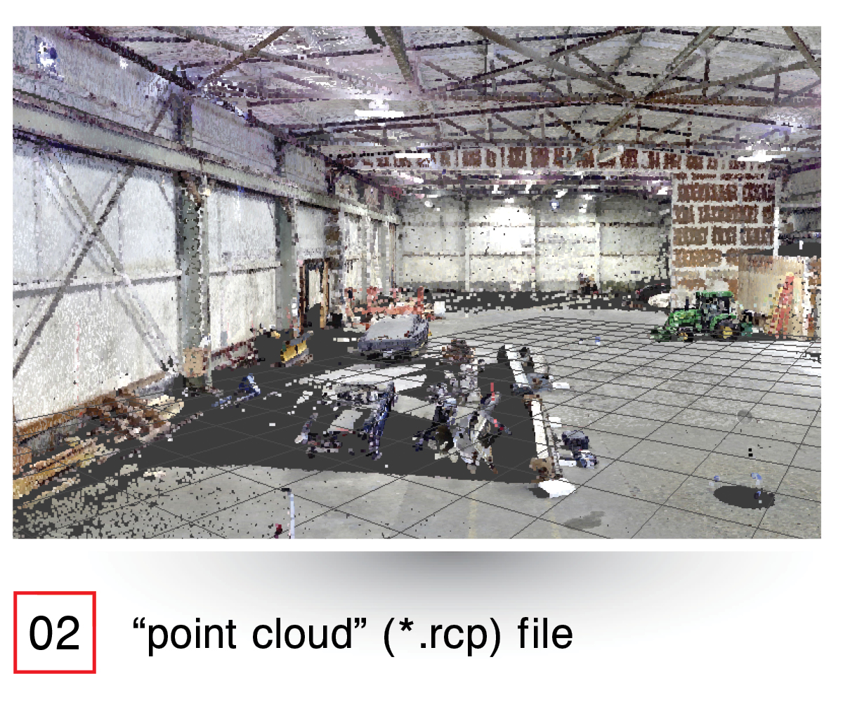
The final result is a “point cloud” (*.rcp) file consisting of multiple points defining the exact 3D coordinates of the surface of the scanned object.

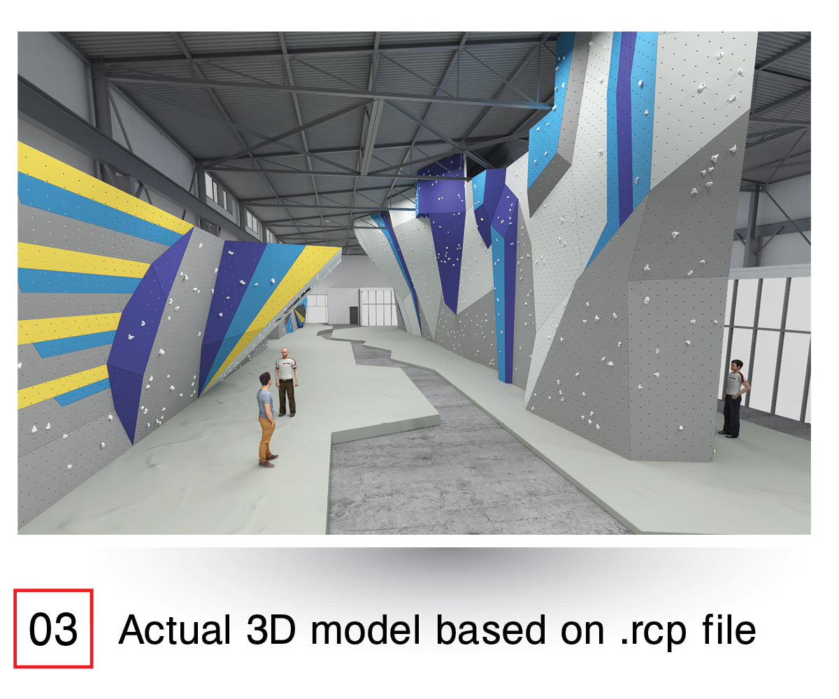
Then this data is imported in AutoCAD/Revit/ SketchUp to construct the actual as-built 3D model of the site.

Technical Information

  • Cutting edge 3D Scanner
  • Range 187 Meters (approx. 600 ft.)
  • Range noise and accuracy: ≤1mm linearity error,range noise 0.2 mm – 2.2 mm at <50m.
  • High Dynamic Range panorama imagery with 80 mega pixels resolution
  • High-speed of up to 1 million pixel/second
  • The Dynamic Compensator will correct angular tilt for each pixel during scan acquisition.
  • Electronic level for maximum accuracy
  • 320° x 360° field-of-view for maximum coverage
  • Operational in all lighting conditions

To top